gipuzkoakultura.net


gipuzkoakultura.net
2026ko abuztuak 3, astelehena
After they left the caves, people began to settle in groups of outdoor dwellings. Over time these took on more complex structures and forms of organisation. However it is very likely that prior to this, small nuclei were already being formed outside the caves, and these may have continued to provide shelter in particular situations or have been used for storage.
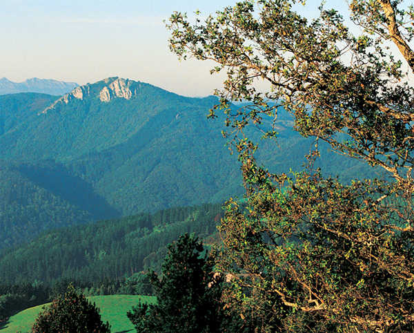
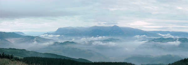
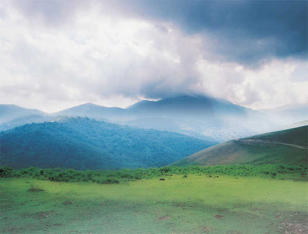
Careful thought was given to selecting a site for a stable settlement. Where a variety of terrain types was available, the general preference was for summits or sites that commanded a view over the surrounding area, sometimes protected by precipices or steep slopes.
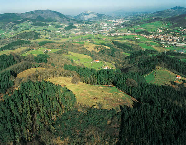
As well as being well defended, the final site tended to be situated on important natural routes, overlooking large areas of land which could be used for a range of activities, mostly agricultural.

The choice of location gives us an idea of the way the land was organised. The four fortified settlements in the Oria valley, for example, were situated on upland sites commanding a view of most of the river basin. They stood at relatively similar distances from each other, and in some cases were also visible from the neighbouring fort. From Basagain, for example, there is a clear view of Buruntza and vice versa; the same is the case with Intxur and Murumendi.
These sites vary in elevation from 868 metres above sea level (Murumendi) to 295 (Basagain). Despite this difference, they are all sited at a considerable height above the nearby river or rivers and surrounding land and therefore had a view over large areas. From any point on the wall surrounding the settlement at Basagain, for example, large swathes of land are visible, even though the actual location is not very high above sea level.
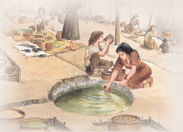
Control of water was another basic factor in choosing a site. Even in areas with abundant rainfall, settlements tend to be located on sites where there is at least one spring inside the walled enclave or nearby. In addition to these springs, the inhabitants also used different systems to gather rainwater. Both of the dwellings excavated at Intxur, for example, contain circular holes carved into the rock, measuring 1,70 and 0,80 metres in diameter and 0,60 and 0,30 metres in depth respectively.

The area adjoining the settlement was also particularly important. Tree felling (evidenced by analyses of pollen and spores) left clearings which were used for a variety of purposes. For getting around, the people used a series of paths, sometimes employing carts drawn by oxen or horses. Although as yet we have not identified these paths, it is worth examining the old rural paths which have survived down to the present.


