gipuzkoakultura.net


gipuzkoakultura.net
lunes 27 julio 2026

Investigations by the authors and C. Olaetxea indicate that during the protohistoric period Gipuzkoa was inhabited by a large number of population nuclei, scattered over large areas. It is very likely that in addition to these groupings or villages there were also scattered settlements somewhat like today's farms or farmsteads.
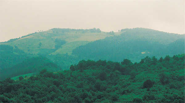
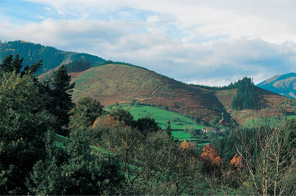
Some of these settlements have been identified. They are ranged uniformly across the land, generally on sites overlooking the large river valleys. However we lack information on the outlying dwellings.
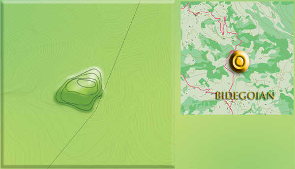
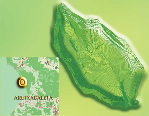
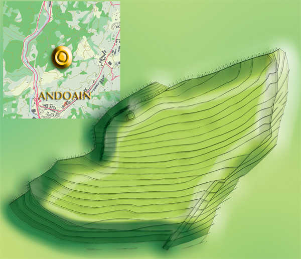
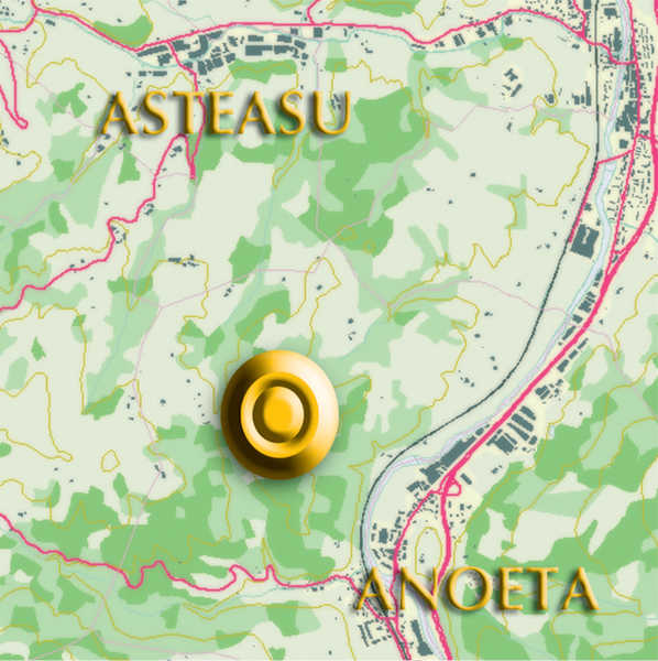
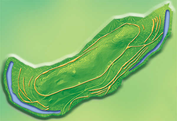
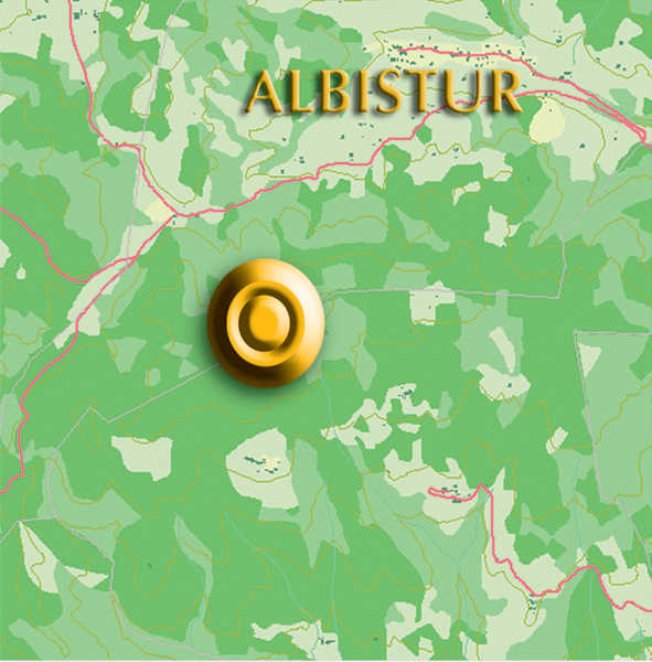
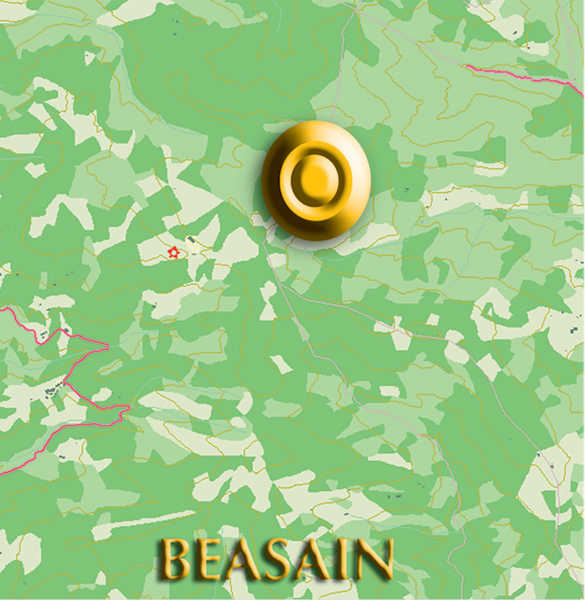
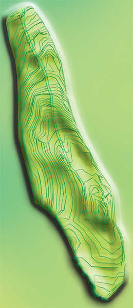
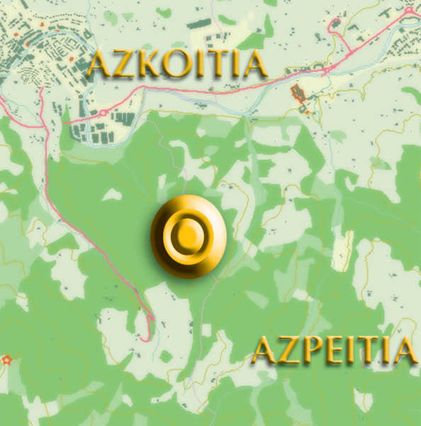
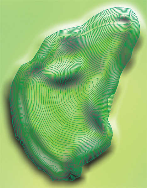
To date eight sites have been discovered: Buruntza (Andoain), Basagain (Anoeta), Intxur (Albiztur-Tolosa) and Murumendi (Beasain) in the Oria valley; Munoaundi (Azpeitia-Azkoitia) in the Urola valley; Moru (Elgoibar) and Murugain (Arrasate-Aretxabaleta-Aramaio) in the Deba valley and Akutu (Bidegoian-Errezil), close to the Ernio massif.
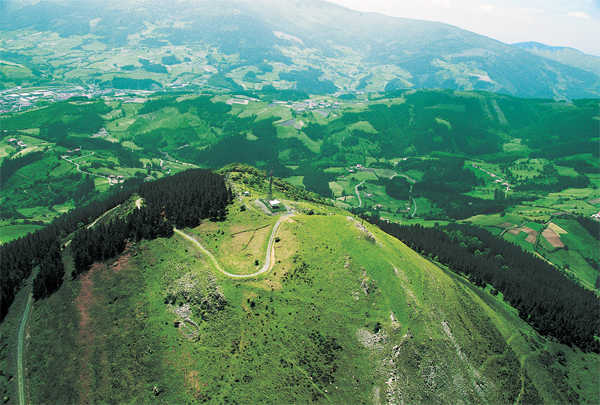
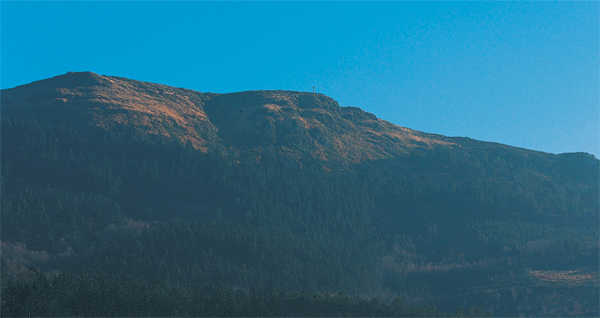
The area occupied by these settlements varies greatly: the largest, at 17 hectares, is Intxur and the smallest is Buruntza (0.7 ha), with the others occupying intermediary areas (Munoaundi 7 ha, Murugain 4.7 ha, Akutu 3 ha, Basagain 2.8 ha, Murumendi 1.9 ha and Moru 1.1 ha) All of the sites make use of the natural defences afforded by the terrain, which are reinforced with walls and, in some cases, by fosses. The shape of each settlement depends largely on the location, although there is also some relationship with the characteristics of the group and its activities: curved (mostly oval) shapes predominate, combined with straight sections to delimit the outer reaches of the enclosures.
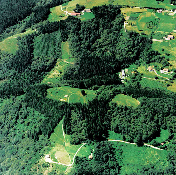

The arrangement of the internal area varies depending on the terrain and the needs of the inhabitants. Generally, flat or terraced areas were the easiest sites for building houses and other structures, although these were also built on apparently less suitable terrains in some cases. In Intxur, for example, the dwellings are cut into the rock on a gentle slope next to the highest point in the village, on the southern side. Terracing - natural or artificial - however, is frequent in nearly all these enclaves and it was most of the activities of the settlement appear to have been concentrated on terraces.

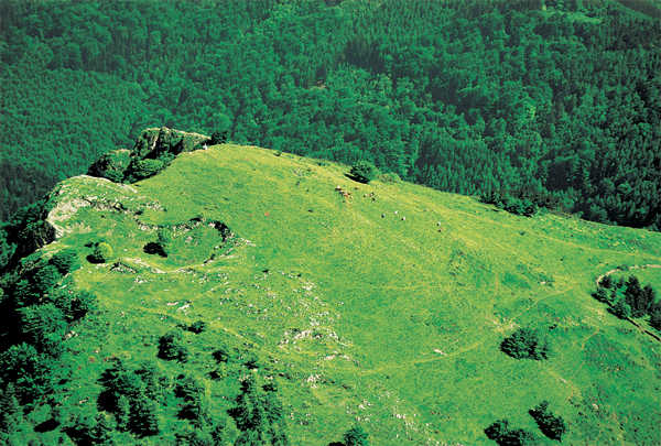
In some cases the internal layout was altered over time. Few enclosures were densely occupied; Much of the large intramural areas we find in these settlements was probably used for crops, pastures and cattle pens, with the exact arrangement being altered as required. None of the sites discovered to date in Gipuzkoa contains the urban layout that has been found at sites in other parts of the Basque Country dating from the second half of the millennium (for example La Hoya (Biasteri), with a paved street plan delimiting well organised blocks of houses which occupied the entire intramural area; although some of the dwellings found in Intxur are aligned in a single area. The arrangement of the houses in Intxur is more reminiscent of Central European sites, such as Heuneburg, which covers an area of about three hectares overlooking the Danube. Here the dwellings are erected next to each other and arranged irregularly depending on the line of the wall and the requirements of the builders; in all cases they are free standing, with areas of difficult passage between them in which the drainage systems are clearly marked. It is estimated that the area could not have held more than two hundred people.

The dates during which these enclosures were occupied vary; using Carbon 14 dating and analysis of typological features, we can tell that some were occupied throughout the first millennium BCE, although mostly during the second half. The oldest known settlement in Gipuzkoa is in Buruntza, which is 3,000 years old; the most recent (Intxur) was settled 2030 years ago. However, a fragment of wood as been found at Intxur which is 2,720±80 years old. This may have come from an earlier settlement on the hill and could have formed part of some defence work predating the large stone wall. However, the more densely inhabited areas - dwellings and surrounding areas - are more recent, dating back only between 2,270 and 2,030 years.


